
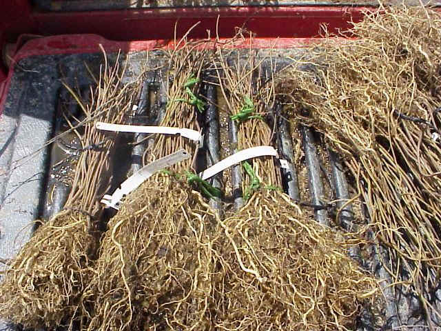
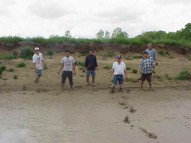
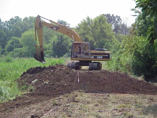
(Top - Buttonball Bushes) (Center - The crew - tree planters) (Bottom - Breaching the levee)
Progress Report
Breaching levees in ponds 17 (A), 16 (B), 15 (C) and taking down to elevation 613 same as flood stage of Robinson Creek and planting native grass (switch grass) on excavated soil.
Planting the following trees on spacing of every 15 feet throughout wetland (6150 trees on 30 Acres)
Willow oak, water oak and swamp oak (cow oak) and river birch on elevations of 613 to 611.5Button bush and bald cypress on elevations below 611.5
Agri-Drain PVC 6"x 4’ water inlet control structure:
Set top water stop at 613 this will trap 2 feet of water when Robinson Creek reaches flood stage (elevations 613 to 610.9 lowest pond elevation) during the months that the trees are dormant from November 1 to March 31. Then drop boards or let natural seepage and evaporation occur to bring water level down to 612 down to less water tolerant trees such as the oak and river birch species will have most of the growing season out of water coverage. The button bush and bald cypress trees will maintain water coverage through several days of the growing season or until water seepage and evaporation occurs.
Benefits of the above
This will restore the natural wetlands functions of this site before the area was converted to farmland Robinson Creek was documented to have exceeded the 613 elevation (flood stage) 5 times between November 1 2000 and March 31, 2001